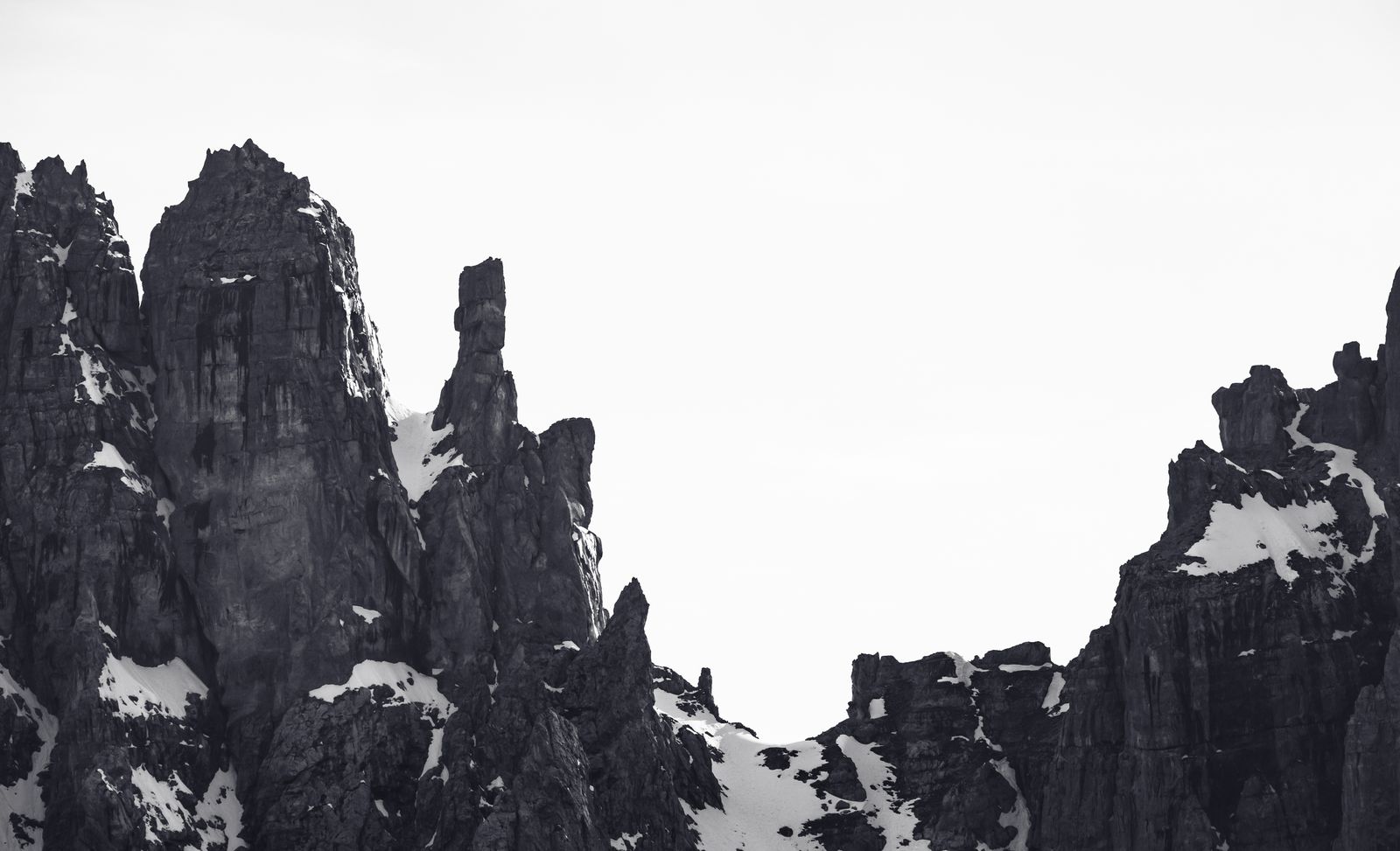
Passo del Grostè and Rifugio Graffer: a hike among the rocks of the Brenta
Itinerary facts
- Campo Carlo Magno (1681 m)
- Pozza Vecchia
- Pozza Boc
- Rifugio Graffer (2261 m)
- Passo Grostè (2442 m) con cabinovia (sent. 301)
Route map
⚠ Indicative links between points of interest; they do not represent trails or lift lines.
Passo del Grostè represents a true geological and visual threshold, a privileged gateway to the rocky heart of the Dolomiti di Brenta. Reaching an altitude of 2400 meters means witnessing a sudden change in landscape: the dense vegetation of the valley floor vanishes, making way for a vast karst plateau reminiscent of a lunar environment, dominated by the brilliant white glow of the main dolomite rock. Set in this austere and fascinating scenery, which separates the central Brenta massif from the northernmost peaks, is Rifugio Graffer (owned by SAT, Società degli Alpinisti Tridentini), a historic landmark for hikers and mountaineers.
The itinerary to explore this area offers two distinct approaches: a rewarding walk from the valley floor or a quick approach via the cable cars, which is, however, tied to the season.
The ascent on foot: from Campo Carlo Magno to Rifugio Graffer
For those who prefer to experience the mountains with a gradual progression, the traditional ascent begins at Campo Carlo Magno, at an altitude of 1681 meters. Setting out on this slope, one can clearly perceive the climatic and botanical transition of the Trentino mountains.
The route unfolds passing the localities of Pozza Vecchia and Pozza Boc. In these sections, the coniferous forests gradually give way to low mountain pines and, finally, to high-altitude pastures and the first scree slopes. It is a rewarding ascent that covers an elevation gain of about 580 meters. Maintaining a steady pace, the hiker takes about 2 hours to reach the 2261 meters of Rifugio Graffer, whose terrace offers an exceptional view of the surrounding peaks.
High-altitude access from Passo del Grostè
The second option, which differs profoundly in physical effort, relies on the use of the Cabinovia del Grostè. This lift allows you to comfortably overcome the elevation gain starting from the valley floor and disembarking directly at the 2442 meters of the Pass. From this privileged point, the perspective of the itinerary is reversed: you actually proceed downhill towards the refuge.
Taking the SAT 301 trail marker, you descend gently into a grandiose rock amphitheater. The downhill walk takes about 20 minutes to arrive at Graffer. This variant is ideal for those who wish to explore the Dolomite environment with less effort, but it is strictly linked to the seasonal opening of the cable car.
Beyond the refuge: the call of high altitude
Rifugio Graffer is not only a destination but an important hub for the high-altitude trails of the Parco Naturale Adamello Brenta. From here, paths set off that delve into the more severe folds of the mountain.
It is fundamental to make a clear distinction between hiking and mountaineering: in this area, you can access the famous Brenta via ferratas (such as the Via delle Bocchette). Such routes are strictly reserved for experienced people equipped with a harness, helmet, and via ferrata set. They should in no way be confused with a normal afternoon walk. The hiking classification of a trail provides a technical indication, but the mountains require a careful assessment of one's own level, as there are no absolute guarantees of safety.
Itinerary Technical Details
To better organize your day, here is the precise summary of the route data:
- Starting point: Campo Carlo Magno (1681 m, on foot) or Passo Grostè (2442 m, reachable by cable car).
- Route stages: Campo Carlo Magno (1681 m) ➔ Pozza Vecchia ➔ Pozza Boc ➔ Rifugio Graffer (2261 m) ➔ Passo Grostè (2442 m) connected by trail 301.
- Estimated hiking times (not interchangeable between variants):
- Outward journey on foot: Campo Carlo Magno ➔ Rifugio Graffer: about 2 hours uphill.
- Outward journey downhill: Passo Grostè ➔ Rifugio Graffer: about 20 minutes on trail 301.
- Return: To be calculated based on the route chosen for the descent (on foot or returning to the lifts).
- Elevation gain: From Campo Carlo Magno to Graffer about 580 m uphill. From Passo Grostè to Graffer the route is downhill.
- Difficulty: From easy at high altitude for beaten sections, to mountaineering for those continuing onwards to the via ferratas (experts only).
- Seasonality and access: Summer. The Cabinovia del Grostè is active exclusively during the open season. When the lift is closed, the only access is the walking variant from Campo Carlo Magno.
Important Notices - October 2026 Update
For those planning an outing in these days, the following mandatory operational information regarding the accessibility of the territory is provided:
- Grostè lifts: The cable cars and summer ski lifts have ended the season and have been closed since mid-September (September 13–20, 2026). Therefore, the downhill itinerary from Passo del Grostè described above is not currently viable: the only access route to Rifugio Graffer is the ascent on foot from Campo Carlo Magno, subject to checking the weather conditions at high altitude.
- Vallesinella trail viability: Although not part of this itinerary, for those organizing other excursions in the Park, please note that since September 21, 2026, a section in Vallesinella between the parking lot and the Cascate di Mezzo is closed for works, as well as a part of the Sentiero dell'Arciduca (on the Cason road). We invite you not to present or plan that loop as entirely passable during this period.
Photo: Marek Piwnicki / Pexels · License Pexels License — Madonna di Campiglio, Trentino (verificata)