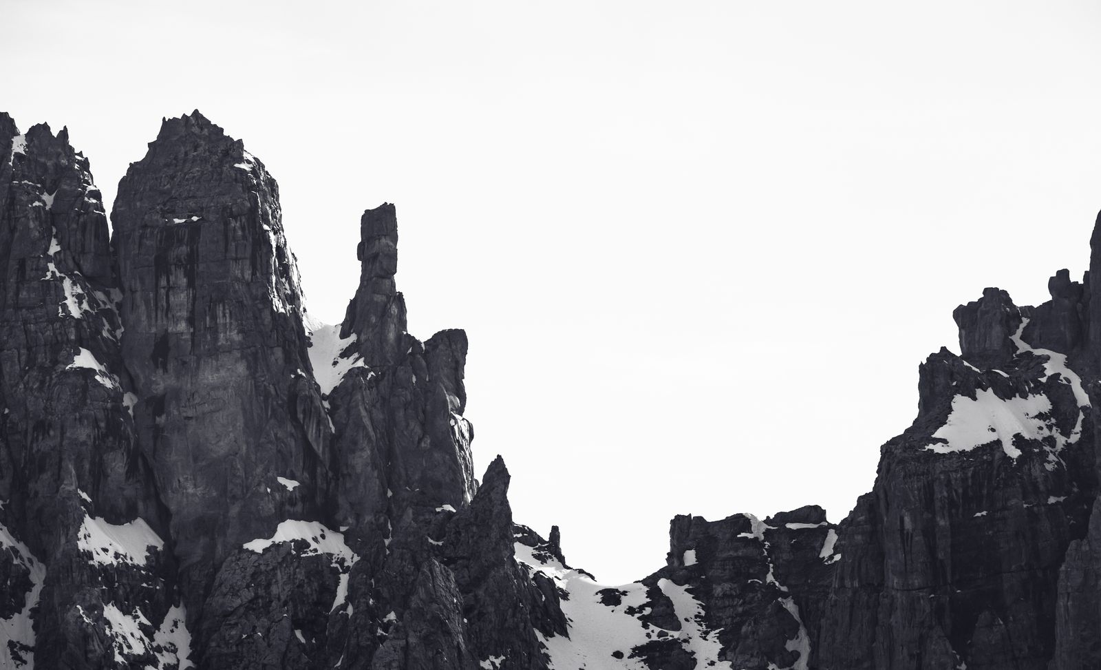
From Vallesinella to Rifugio Brentei: An Ascent into the Rocky Heart of the Dolomites
Itinerary facts
- Vallesinella (1513 m)
- Rifugio Casinei (1825 m)
- Sentiero Bogani
- Rifugio Brentei (2182 m)
- Rientro stesso tracciato
Route map
⚠ Indicative links between points of interest; they do not represent trails or lift lines.
Entering Val Brenta means leaving behind the softness of the valley floor pastures to delve into a true cathedral of dolomite rock. The hike that leads from Vallesinella to the Casinei and Brentei refuges is one of the most iconic itineraries in the Parco Naturale Adamello Brenta, a route that draws a sharp line between the tree line and the realm of verticality.
Today, October 10, 2026, the high-altitude atmosphere is dominated by the color contrasts of autumn and by silence. It is essential to plan the approach with awareness: the summer lifts and cable cars in the area closed between September 13 and 20, 2026, making the mountain accessible solely on your own two legs. Furthermore, right in Vallesinella, a section between the parking lot and the Cascate di Mezzo, along with a part of the Sentiero dell'Arciduca (strada Cason), has been closed for works since September 21, 2026. This does not prevent you from taking the uphill trail towards the refuges, but it requires paying attention to the construction site signage in the departure area.
Itinerary Technical Details
Before lacing up your boots, here are the essential details of this hike:
- Departure: Vallesinella (1513 m)
- Intermediate stops: Rifugio Casinei (1825 m), Sentiero Bogani
- Arrival: Rifugio Brentei (2182 m)
- Elevation gain: approx. 669 m (calculated as the pure altitude difference between Vallesinella and Brentei)
- Duration: approx. 3 hours uphill
- Return: follows the same route, with a distinct estimated time to be calculated separately (generally estimated around 2 hours and 15 minutes for the descent, but variable depending on pace).
- Difficulty: Demanding (high mountain environment)
- Access: The road to Vallesinella is historically regulated and served by a seasonal shuttle. Outside the tourist peak, parking and transit rules may vary; it is advisable to check with the Tourist Board.
The Ascent: From the Scent of Resin to Bare Rock
From Vallesinella to Rifugio Casinei
The itinerary starts from the Vallesinella parking lot (1513 m). Leaving the roar of the water behind, the trail immediately climbs steeply into the dense forest of firs and larches. The exposed roots and natural limestone steps dictate the rhythm of your breath. This first section is an excellent testing ground to warm up the muscles. After an ascent of switchbacks, the forest suddenly thins out to make way for a bright clearing: you arrive at the Rifugio Casinei, located at an official altitude of 1825 m. This is a crucial hub, a historical crossroads where routes diverge towards the various upper valleys of the Brenta group.
The Sentiero Bogani and Arrival at Brentei
From the Casinei, you take the famous Sentiero Bogani. It is here that the hike changes its skin. The vegetation gets lower, mountain pines replace the tall trees, and progressively, dolomite rock becomes the absolute protagonist. The route cuts halfway up the mountain flanks, crossing scree slopes and rocky ridges.
The Sentiero Bogani offers dizzying views and requires a sure foot. In some places, the trail is literally carved into the rock, offering a spectacular passage that forgives no distractions. The view opens up to the imposing Crozzon di Brenta, a stone monolith that seems to hold up the sky. After passing the last saddle, the splendid glacial amphitheater housing the Rifugio Brentei (2182 m) opens up, flanked by the small, evocative stone chapel, a place of memory and reflection for mountaineers.
Safety and Planning in the High-Altitude Environment
The arrival at Rifugio Brentei rewards every effort, but it is essential to remember that you are moving in a severe environment. The hiking classification does not equate to a safety guarantee for all walkers. Although the route is not a via ferrata and does not require a harness, the presence of exposed sections along the Sentiero Bogani requires an absence of vertigo, adequate physical preparation, and technical footwear.
Weather conditions at high altitudes change extremely rapidly, especially in the autumn season. The descent, which takes place by retracing the exact same route as the outward journey, requires concentration: accumulated fatigue and rocks made slippery by humidity can represent a concrete hazard.
Finally, there is no promise of finding the refuges open for a hot meal or shelter. Outside the peak of summer, high-altitude facilities close their doors: it is imperative to verify the opening of Rifugio Casinei and Rifugio Brentei by contacting the managers directly before undertaking the journey. A mindful hike is the first step to fully enjoying the rugged, unforgettable beauty of the Dolomiti di Brenta.
Photo: Marek Piwnicki / Pexels · License Pexels License — Madonna di Campiglio, Trentino (verificata)